

Never Miss a Beat: Get a snapshot of the issues affecting the IT industry straight to your inbox.
Drone mapping data can dramatically impact the profitability of certain businesses. Should you include it in your business app? Consider these points.
4 Min Read
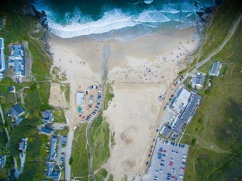
Image: Pixabay/asukltd
Drones gather mapping data about all kinds of things in the real world. Today we're using apps, data, and IoT devices, including drones rather than human surveyors on site or in a plane. Have you considered how your company might use drone mapping data in business apps to deliver new value to your customers? If not, perhaps you should.
Construction companies, excavation companies, mining companies and energy companies are just a few types of organizations using drone mapping data to do their jobs more effectively and achieve better bottom-line performance.
Drone mapping solution provider Identified Technologies works with such companies to reduce costs and win more business based on the analytics and conclusions drawn from drone mapping data collected at their work sites. The end product is reports about costs and cost forecasting, progress forecasting and accounting.
"When you have an area about the size of San Francisco Bay, you've got hundreds of piece of equipment and hundreds of people around," said Dick Zhang, founder and CEO of Identified Technologies. "[Historically,] you could only confirm [their status] after the fact."
In the past, the information might not be available for weeks or months, and the cost of collecting the data could cost hundreds of thousands of dollars per year for projects. To get paid, contractors need to show progress, such as the amount of dirt they moved and status of the roads they're building. Zhang said his customers are able to save 70% to 90% on their surveying endeavors.
Although using drones to gather mapping data isn't a new concept, the economics of owning, renting and using them have changed dramatically as drone technology continues to improve and prices continue to fall.
"You can get remarkable quality and reliability for a remarkable price [which] has accelerated growth in the market," said Zhang. "Data is a huge driver."
Don't Forget the FAA
So, you want to use drone mapping data in your application. You can collect the data yourself or perhaps pull the data from another source via an API. If you're interested in the former, be advised that US commercial drone piloting is regulated by the Federal Aviation Administration (FAA).
Like manned aircraft pilots, commercial drone pilots need to understand FAA regulations, weather conditions and what different flight conditions are like. Despite the fact drones use GPS and imaging, radar-based and laser-based sensor to map their environments and enable autonomous flight, the FAA still wants drones within the line of sight of commercial operators, most of the time.
"In the vast majority of cases we have to keep our eyes on the aircraft. The technology doesn't need it, but that's the current regulatory framework outlined for us," said Colin Romberger, Pennsylvania flight instructor at drone flight training and consulting company DARTDrones. "A manned aircraft doesn't have sensors and things like that. All they have are pilots on board to look around and see if there's an unmanned aircraft or drone flying nearby, so it's up to us to watch out for them. Many unmanned drones are able to map their surroundings independently."
Today's businesses are all about data, but if you want to collect mapping data using a commercial drone you're going to have to learn a few other things first. DARTdrones has three levels of training for very good reasons.
In basic flight training, aspiring drone pilots learn what makes up an unmanned aircraft system including the architecture used by different aircraft manufacturers. Then, students learn how to use controls so they can launch, fly and land drones safely. Commercial pilots need to be (small unmanned aircraft) certified. Data gathering is addressed late in the training because, beyond the basics, drone pilots need to understand the purpose of the mission, whether it's inspection, emergency services, public safety operations or security.
"Inexperienced operators may understand the basics and have FAA certification, but if they don't know how to set up the system properly when performing a job, they won't be able to make sure the imagery they're gathering is going to be quality and allow the post-processing software to generate the best results," said Romberger.
The bottom line
Drone mapping data is enabling significant economic and efficiency improvements for some organizations, because it enables faster access to more accurate data. If you want to collect the data yourself for an app or for sale to app developers, you'll need to be FAA Section 107-certified at a minimum and you'd probably be wise to learn a few tricks from the experts.
About the Author(s)
You May Also Like
More Insights
Editor's Choice


May 2, 2024
While there are plentiful options in cyber resiliency and business continuity tools and platforms, there isn’t one that can knock out everything from sudden cloud outages to prolonged ransomware attacks in a single punch. What can you do to keep the company on its feet no matter what is thrown at it? Find out in this new virtual event.
Reserve Your Seat Now